Do you feel that? The warm winds are blowing! Before the weather station at the McKellar-Sipes Regional Airport began to malfunction again, it was reporting temperatures in the lower 70s at 10 a.m. this morning! This along with other ingredients in the atmosphere could set us up for severe weather tonight.
All of West Tennessee is looking at a chance for rain tonight, but not everyone is expecting severe weather. The slight to enhanced risk for severe thunderstorms is for areas in West Tennessee south of I-40 in addition to parts of Carroll and Benton counties.

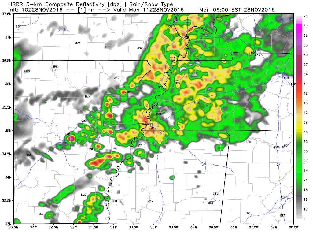
On a regional view of the radar, you can see the storms starting to develop in Louisiana. They'll continue moving northeast this afternoon into Mississippi ultimately ending up in portions of Alabama and Tennessee tonight.

This animated image shows what the storms may look like on radar here locally...

...we're expecting the main threat for severe weather in West Tennessee to start as storms enter the area between 6 and 7pm. While there may still be some rain lingering overnight into Wednesday morning, the risk for severe weather will deteriorate between 12 a.m. and 2 a.m. Wednesday morning.
The thunderstorms that develop tonight will mainly pose a threat for damaging winds and hail but a tornado will also be possible tonight - especially the areas under the enhanced risk. That includes Hardeman, McNairy, and Hardin counties but parts of Chester, Henderson, and Decatur counties are in that area as well.
Stay with us as we monitor the storms this evening. We'll be sure to relay any information regarding watches and warnings issued by the National Weather Service.
RECAP:
- Strong to severe thunderstorms possible tonight
- Greatest risk for severe weather is south of I-40
- Damaging winds are the main threat but tornadoes are also possible
- Storms are expected to be worst between 6 p.m. Tuesday and 2 a.m. Wednesday